The area under development is a piece of land covering about six hectares, with a steep slope, in the strip between the Barcelona plain, where the Cerdà grid plan-style fabric comes to an end, and the narrowest and most curving street layout of the Guinardó neighbourhood, where the city begins to climb up the sides of the Carmel hill.
The plot to be developed, adjacent to the Hospital de la Santa Creu i Sant Pau, contains an unusual residential building with extensive gardens, Guinardó Civic Hall, a football club’s offices and pitch, a school and a church, and the remains of incomplete residential fabrics. An old stream, which has been precariously converted into a service road, vertically crosses the area.
A coherent solution was required, which planned and connected the free spaces, clarified their uses, and addressed the issue of the crossing of the extension of the Ronda del Mig main road, overcoming significant gradients and crossing a space that residents and organisations wished to be a park and to house numerous facilities.
The proposal which won the tender organised by Barcelona City Council resolved both the issues with demanding topographical requirements: the crossing of the road and the relocation of the football field. A thorough cross-sectional analysis led to the planning of a split-level road with lanes at different heights, an intermediate esplanade that houses the playing field, and the use of part of its stands to offset the gradients created by this operation.
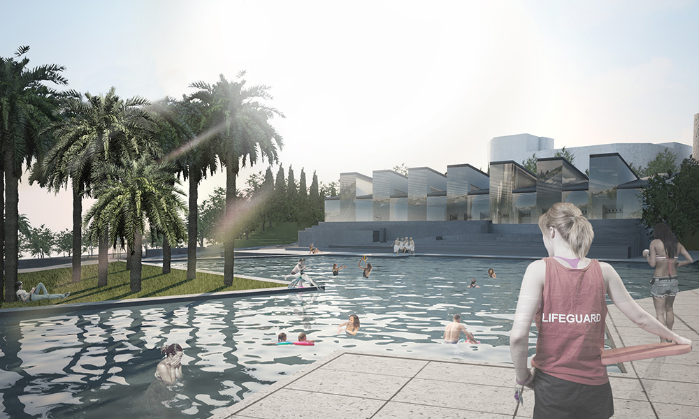
The proposal also called for the reorganisation of the existing buildings, which were to be incorporated into the facilities programme, around an area of water that could be used as an outdoor public swimming pool, occupying a second esplanade, and the creation of passable pedestrian and service links in an area planned in overall terms as a park.
The tender led to the Municipal Urban Promotion Institute commissioning the plan for the execution of the road, the football pitch that would occupy the central reserve, and an underground car park for 500 vehicles that would be developed alongside the road, running parallel to the metro tunnel, with entrances linking up to the extension of the Guinardó station, which would be included in the plan. At the same time, the drafting of a special plan which would have provided support for the planning that won the tender was commissioned.
However, disputes in the expropriation of the land led to the postponement of the planned work when it was in the laying out phase. The stoppage of the work, which led to falling behind in the schedule for the Olympic Games, ultimately led to the road being constructed simply based on a schematic design, which was different from the proposal in the tender.